Researcher and Manager Resources
OCC focuses on the development of science-based tools and applications designed to aid wetland management, support wetland research and ultimately improve the quantity and quality of wetlands in Oklahoma. Vital to that mission is understanding where wetlands exist, their condition, and where wetland restoration is most likely to be successful. OCC has created tools to identify wetland restoration opportunities and assess wetland condition in Oklahoma. Additionally, we support national wetland mapping and assessment efforts.
Restorable Wetlands Identification Tool
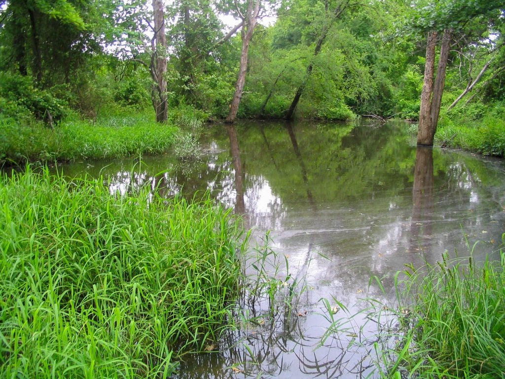
Successful wetland restoration is very often limited by finding adequate locations that can support wetland hydrology. OCC developed the Restorable Wetlands Identification Protocol (RWIP), a desktop screening tool to identify potential candidate restoration sites based on topography, soils, hydrology and land-use. RWIP maps are available at the watershed scale for the entire state upon request, and a second version of the protocol has been applied to approximately 1/3 of the state that includes information regarding hydromodification from ditches and impoundments.
Oklahoma Rapid Assessment Method
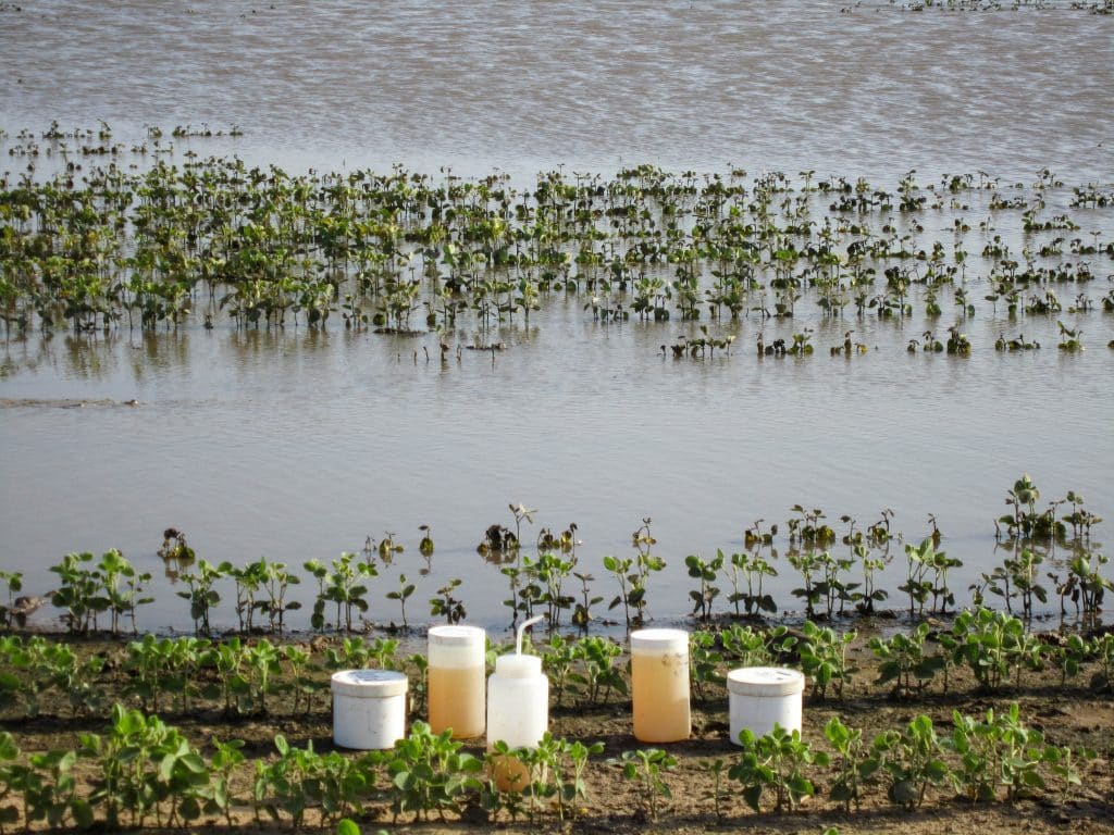
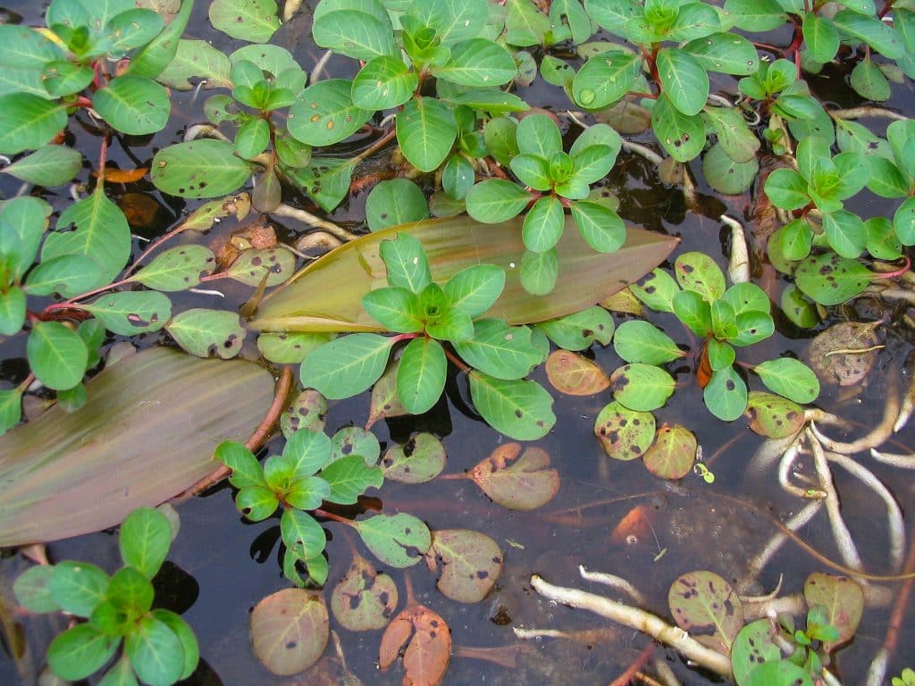
The Oklahoma Rapid Assessment Method (OKRAM) is a stressor-based assessment of wetland condition that incorporates measures of wetland hydrology, water quality, and biota. OKRAM was created through a collaboration between OCC and Oklahoma State University (OSU). OCC and OSU have validated the accuracy of the method through over 300 assessments spanning the diverse array of wetlands that occur in the state. OKRAM can be used to assess the health of a single wetland, track improvement following restoration, or to develop regional estimates of wetland health. OKRAM Field Worksheets, for completing the assessment, as well as a Comprehensive Guidebook, providing step by step instructions for application, are available. Training presentations providing additional background on OKRAM development and example assessments are also available (Background and Introduction to Assessment; Example Assessment and Google Earth Tutorial; Site Specific Assessment and OKRAM Applications).
Hydrogeomorphic Classification
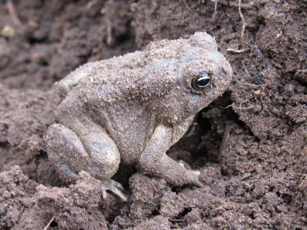
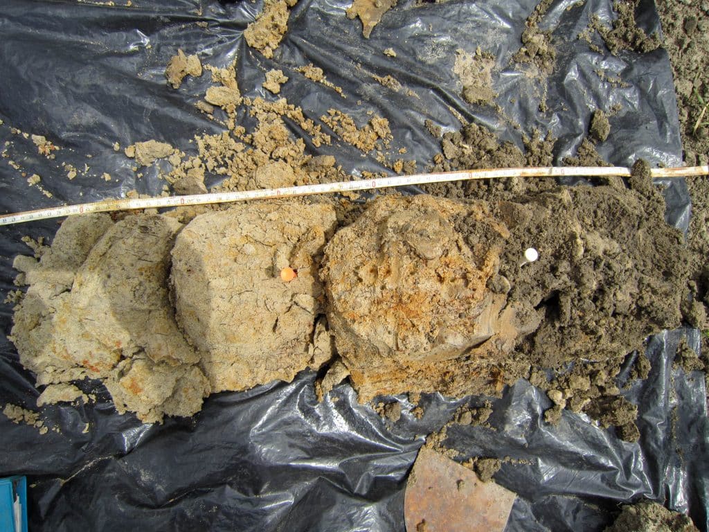
Critical to managing wetland resources is understanding the types and distribution of ecosystems in Oklahoma. OCC and Oklahoma State University collaborated to develop a hydrogeomorphic classification (HGM) system to categorize wetlands based on the characteristics that most prominently impact their function and the biological communities they support. HGM, which was developed by the United States Army Corps of Engineers, classifies wetlands according to their hydrology and landscape position. To facilitate consistent and accurate designation of wetlands to the correct HGM class, OCC has created a dichotomous key, as well as a report that summarizes expected wetland classes in Eastern Oklahoma.
National Wetland Condition Assessment
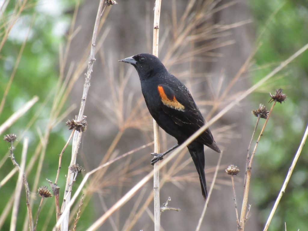
The National Wetlands Condition Assessment (NWCA) is a nationwide condition assessment of wetland health and is a component of the broader National Aquatic Resource Surveys (NARS). OCC is the lead agency for assessment of wetlands in Oklahoma for NWCA, and has managed data collections in 2011, 2016 and 2021. As a component of NWCA, OCC also leads intensification projects to assess the statewide health of wetlands in Oklahoma. Reports summarizing Oklahoma wetland condition are available: 2017 NWCA Intensification Report, and 2022 NWCA Intensification Report.
Wetland Mapping
The National Wetlands Inventory (NWI) is a comprehensive wetland map of the United States managed by the United States Fish and Wildlife Service (USFWS). However, because landscapes and ecosystems are dynamic, periodic updates are needed to maintain the most accurate dataset. OCC is committed to providing map updates in portions of the state that have experienced significant change since the original NWI maps were completed in the 1980s. OCC has completed updates in six distinct regions of the state, which have been incorporated into the national map. Additional mapping projects are currently underway.
Frequently Asked Questions
How do I access available wetland assessment data?
How did I access RWIP data?
RWIP is currently available as a shapefile for each Hydrologic Unit Code (HUC 8) watershed. Please contact us for access to the data. We are currently working to develop a web map application for visualization and download of RWIP data.
I’m interested in using OKRAM, how can I learn more?
OCC is working to develop training materials that will be made publicly available. In the meantime, please feel free to contact us for more information.
How can I participate in development of wetland management applications and tools in Oklahoma?
The OCC leads the Oklahoma Wetland Technical Workgroup (OWTWG) a collaboration of local, state, and federal agencies, non-profit organizations, and tribes. We always welcome new partners and collaboration concepts, please contact us for more information.
Contact Us
Science Inquires
Restoration Inquiries
General Inquiries
